TL;DR Aigburth sits along south Liverpool's stretch of the tidal River Mersey, and that proximity means local drainage doesn't only respond to rainfall — tide levels and a naturally higher water table near the river can affect how quickly surface water and groundwater clear, in ways that inland streets don't experience in the same way. If your garden or drains behave differently to what you'd expect after rain, request a fixed-price quote through our contact form and we'll take a proper look rather than guess.
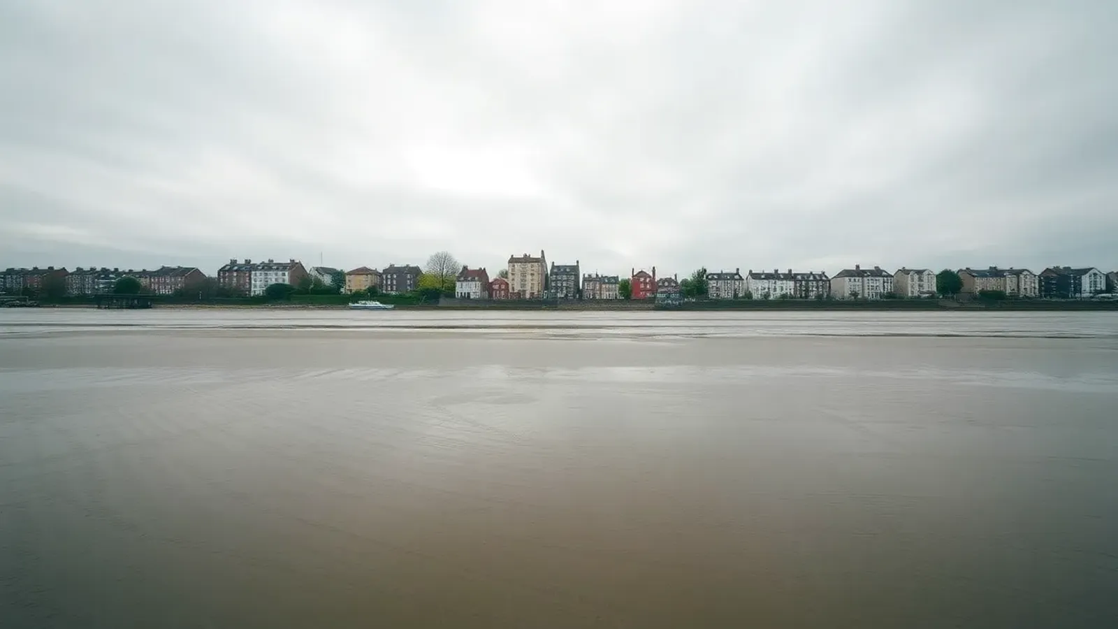
Not Just Rainfall: Why the River Changes the Picture Most conversations about drainage in Liverpool focus on rainfall — how hard it's raining and how fast it clears. Along the river frontage in Aigburth, there's a second factor: the Mersey is tidal for a considerable distance upstream, which means water levels at outfalls near the river rise and fall through the day independently of the weather. At certain states of tide, gravity-fed drainage discharging close to the river has less "fall" available to work with, which can slow how quickly a system clears even when nothing is actually blocked.
Groundwater as Well as Surface Water Land close to a river typically has a higher water table than land further inland, simply because groundwater sits closer to the surface. That matters for anything below ground — a soakaway, a land drain, or an older drain run near the river can be sitting in wetter ground for more of the year than the same structure would be a mile inland. This is a genuinely different mechanism to surface water flooding after heavy rain, and it's worth knowing which one you're actually dealing with before assuming a blockage is the cause.
Checking Your Own Risk Properly Rather than relying on general area reputation, the Environment Agency publishes long-term flood risk maps, including groundwater flood risk, free to check for any individual address. It's a genuinely useful first step for anyone in Aigburth trying to understand whether what they're seeing is a known local pattern or something specific to their own property worth investigating further.
How This Shows Up Day to Day In practice, riverside properties can see slower-draining gardens, damp patches that don't track neatly to a single storm event, or a soakaway that never quite seems to catch up. Because a higher water table can complicate any work that involves digging — trenches near the river are more likely to hit water — a CCTV drain survey is particularly useful here. It lets an engineer see the condition of a pipe run without opening the ground up first, which matters more in riverside gardens than most.
Combined Systems and Heavier Rainfall Like much of Merseyside, older parts of the drainage network near the river carry both foul and surface water in the same pipe. United Utilities, the statutory sewerage undertaker for the region, manages this network and how it performs during heavy rainfall. If a downpour coincides with a high tide, that combination is worth being aware of if your property backs onto the river frontage — not something we'd put a number or a guarantee on here, but a pattern worth understanding. If heavy rain does leave standing water at your property, our flooding emergency service covers that kind of call-out.
What This Means for Cost Riverside jobs can involve extra considerations — groundwater, tide-affected outfalls, and sometimes more careful access — that don't apply on higher ground elsewhere in the city. Rather than estimate blind, the most useful step is a survey followed by a fixed-price quote requested online based on what's actually found.
FAQs
Does living near the Mersey mean my drains are automatically at higher risk? Not automatically, but proximity to a tidal river does introduce factors — tide-affected outfall levels and a higher water table — that inland streets don't have to contend with. It's worth understanding rather than assuming either way.
How can I check my own flood risk? The Environment Agency's long-term flood risk service, which covers surface water and groundwater flood risk as well as rivers and the sea, is free to check for any address and is the most reliable starting point.
Should I get a CCTV survey before any digging is considered? In riverside gardens especially, yes. A survey shows the condition of the existing pipework without opening the ground, which is particularly useful where a higher water table can complicate excavation.
If you're in Aigburth and want to understand what's really going on beneath your garden or driveway, get in touch through our contact form. We also cover the opposite bank of the river — see our Wirral drainage page for coverage there.
#Aigburth
#RiverMersey
#tidaldrainage
#surfacewater
#EnvironmentAgency